Leighton Buzzard
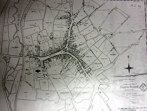
Bevan's 1819 Map
Places > Leighton Buzzard > Maps > Bevan's

This plan was drawn by John Cary for the Leighton Buzzard publisher, land surveyor and civil engineer, Benjamin Bevan.
Scale: 1:2300
Page last updated: 3rd February 2014
