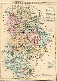
Maps Overview
-
Maps can encapsulate the history of an area
-
The most famous British mapmakers were John Speed and
Christopher Saxton. A copy of Speed's map of Bedfordshire, considered to be one
of his finest achievements, is held at
Bedford Central
Library
-
Town plans for this country were first produced in the sixteenth century and many
were being produced by the eighteenth century. Production of urban plans
increased rapidly in the early nineteenth century
-
The Ordnance Survey was set up in 1791 when Napoleon was
threatening to invade and the Board of Ordnance realised that it had little idea
of the geography of Britain's vulnerable south coast. Ten years later, the first
inch-to-the-mile map was published
|
 |
Page last updated: 7th September 2011

