Leighton Buzzard
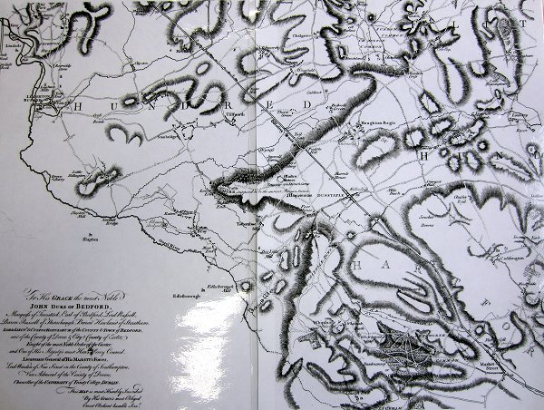
Thomas Jefferys' 1765 Map section
Places > Leighton Buzzard > Maps > Jefferys'

South west section of Thomas Jefferys' Bedfordshire. The map was made for the Duke of Bedford and this section shows Watling Street. Leighton Buzzard is on the top left of the image.
Scale: 1:85600
Page last updated: 3rd February 2014
